Research Project Full Title: Science and Management of San Antonio Bay
Principal Investigator: George Ward
Sponsor(s): San Antonio River Authority
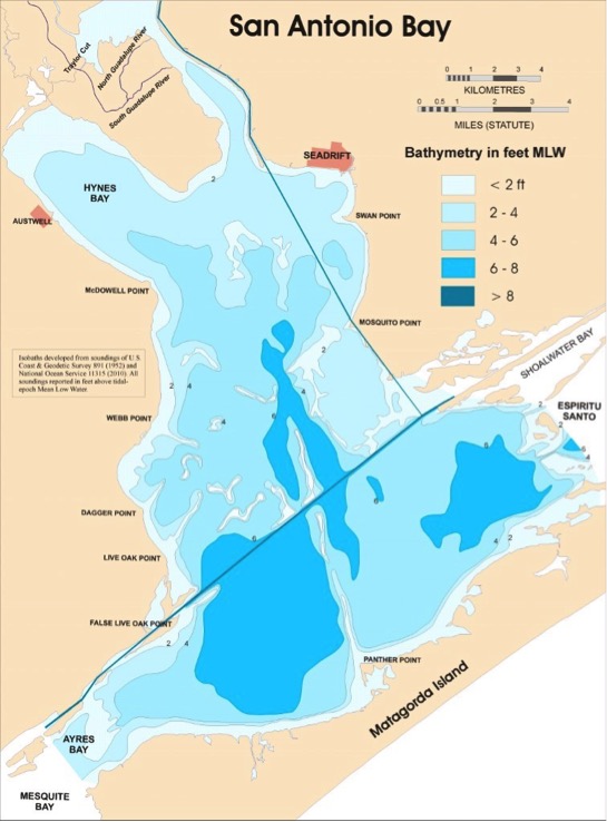
Full Abstract: San Antonio Bay, the estuary of the San Antonio and Guadalupe Rivers, is a relatively pristine bay on the south Texas coast, with minimal impacts from channelization, industrial facilities and peripheral development. This project, sponsored by the San Antonio River Authority, has been underway for over a decade, and has supported several studies relating to the science and management of bay resources.
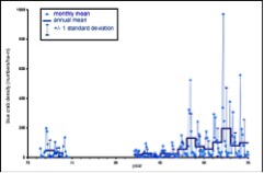
A major effort has been devoted to the Data Recovery Project, whose objective is the identification, acquisition, and curation of historical data sets from past studies of San Antonio Bay, with emphasis on biological and water-quality data. Curation encompasses data sources, georeferencing of sampling locations, documentation of methodologies and uncertainties, and digitization. Data sets recovered thus far date back to the 1950’s.
Additional Links: https://www.sara-tx.org/